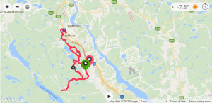
This would be my first time (legally) riding Gatineau Park’s ‘Snow Bike’ trails. Total ride was 2.5hrs, 27km, 1700feet. 27km was a clockwise ‘loop’ including several out & back sections.
There’s been a shift in National Capital Commission’s (NCC) mindset over the past couple of years with regards to bike use in Gatineau Park. Much credit of this new-found access goes to Ottawa Mountain Bike Association (OMBA) for working with NCC.
2016 saw NCC open access to new:
- Summer trails: “Following discussions with the mountain biking community in the region, the NCC is increasing the mountain biking offer by adding 7.8 kilometers to the shared trail network in Gatineau Park. This is a pilot project (ending on November 30, 2016) on trails 3, 14 and 33 as well as on trail sections 2 and 32.“
- Winter Fat Bike trails: “In addition to snowshoe trails 64, 65, 66 and 67, snow biking will also be allowed on trails 70, 71 and 72, still as a pilot project this winter. The National Capital Commission is responding to the growing demand among snow biking enthusiasts.”
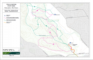
Below is a map to the original 2016 pilot loop which I have yet to try. I’m hoping to ride/document it in the coming weeks as it’s only minutes north of downtown Ottawa.
For my first official ride I decided to take the 20 min drive north from Ottawa to try the upper/northern route. I selected this loop in anticipation of lighter traffic on what was a perfect day to be outside.
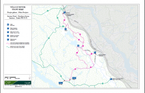
The north loop offers two parking spots (P15 & P17). I opted for P15 because it was about 5 min closer and figured it would be a quieter parking lot than P17 Wakefield (it was).
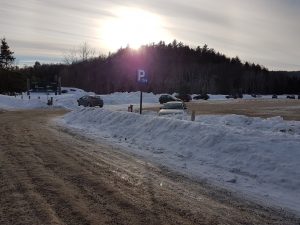
P15 Crossloop parking lot, only a few hundred meters off Highway 5 (take Crossloop exit #24 and drive West over the highway).
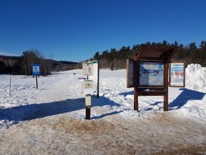
Trailhead and box for trail pass payment, $7.50. Early bird season pass is ~ $50, I’ll be getting one next year. Be sure to have the trail pass visible.
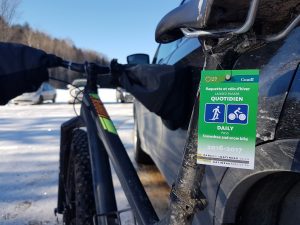
Rules & recommendations to Gatineau Fat biking:
Only winter bikes, also known as “fat bikes”, equipped with tires at least 9.4 cm (3.7-in.) wide will be permitted.
- Required outdoor temperature: 0 °C or less
- Required depth of snow cover: 5 cm (2 inches) or more
- Recommended tire pressure: 10 PSI or less
- Get off the trails:
- If your tracks are deeper than 2.5 cm (1 inch);
- If you have trouble steering in a straight line;
- If you have to walk your bike up small, easy hills.
My PLUS bike only has 3″ wide tire which was perfect for all but a short section of the #72 upper loop (challenging but still rideable w/o making 1″ track).
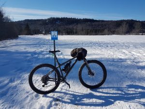
Plenty of signs to direct you along.
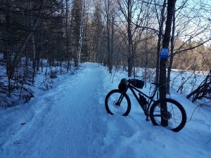
I started in a clockwise format riding #70 to the end. #70 was hard packed, 2-3 track wide trail, and felt like an autobahn. Be mindful around blind corners as there were quite a few snow shoers.
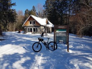
Near the end of the trail you pass Healey lodge. You’re now up with the XC skiers (massively popular). After a short jaunt on a multi purpose ski/snow shoe/Fat bike trail you jump onto narrow single track for ~500 meters.
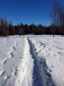
The second lodge, and end of #70, is Herridge lodge. IMO I wouldn’t bother doing that last little part from Healey. The track is too narrow and the traffic too heavy to get any kind of flow. Best to turn back down #70 at Healey lodge. The fun is not over yet!
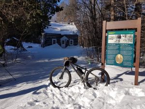
About 1/2 way back down #70 you’ll see #71 heading north/left.
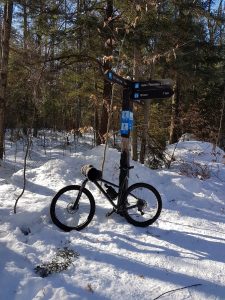
This portion of the trail is pretty damn epic. Single track, fairly hardpacked, and LOTS of ups/downs/turns.
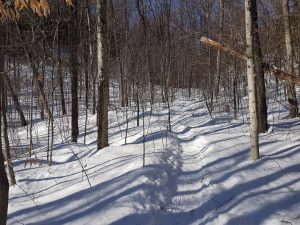
As you ride further north on 71 the climbing/descents get significantly more difficult. These are some more tame pictures.
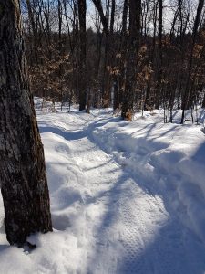
Once you pop out at the lake the technical bit is done (not the climbing though!)
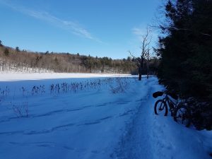
Eventually you join #72 towards the town & parking lot of Wakefield (P17). There appears to be less snowshoe traffic (more Fat Bikes) on this end of the loop so sections were bumpier and/or softer.
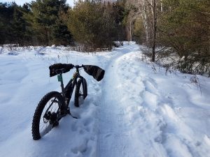
Once you get to the Wakefield parking lot you can ride out a couple hundred meters, through 2 roundabouts & under Hwy 5, to get to Timmies for refueling.
Back on the trail you’re quickly greeted with a grunt of a climb (all rideable). Continue up 72’s north/east clockwise leg and your HR will quickly get pegged with climbing.
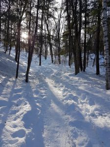
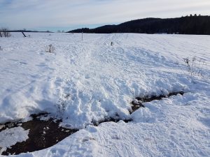
The only thing I’d like to see is some effort from NCC to place temporary wooden bridges over the several creeks that bisected the trail.
All in all I was thoroughly impressed with what I rode. This is getting close to caliber of Canmore’s Highline trail in terms of length and epicness.
I’ve always said that if Gats opened up to Fat Biking I would purchase a proper rig. My PLUS rig easily handled these hard packed conditions but a proper >4″ tire will cover a broader range of conditions.
