I don’t normally head to the St Lawrence area to ride. As my buddy Pete in Brockville told me, you’re limited with only 3 directions to ride, East, West, and North.
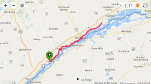
My son had a hockey tournament in Cardinal Ontario this past weekend and typically there’s a 3-4hr gap between games. A perfect opportunity to explore the region. My usual process of combing ‘RideWithGPS‘ and ‘MapMyRide‘ revealed little in the area (although Cornwall showed some interesting future-visit-worthy potential). A quick comb through Google Maps street view showed little gravel that was safe to access or build a loop with. The best I came across was the main route along the river (Hwy 2) had a paved shoulder for a long way. So a boring, all-pavement out & back it is.
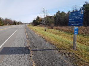
Thankfully the shoulder was in reasonable condition along Hwy 2. However, there were one or two spots where it disappeared for a few km. One neat part along the route were the multiple plaques which referenced key locations of the War of 1812.
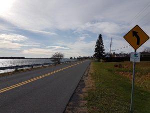
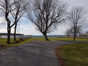
I quickly figured out I should follow signs indicating ‘Waterfront Trail’. The trail/signs often take you off of Hwy 2 and use quaint little side roads to further distance riders from heavy traffic and closer to the water.
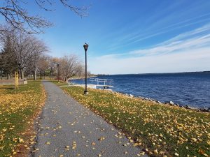
The Waterfront Trail uses paved roads, gravel, and bike paths. Apparently further east of my route there’s something like 70+km of recreational paths.
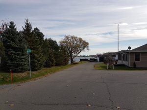
The neat thing I keep reminding myself if just how close we are to the NY border. Just over there is the good ‘ol USA.
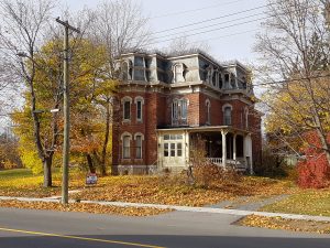
I’ll be honest, I always find pavement-only out & back routes pretty boring. Add the hellacious wind typical of large bodies of water on my way back (I was pedaling at only 15kph at times!) and this is not a route I’m anxiously looking forward to doing again. Still, some of the towns were neat to pedal through. This location wins the creepy haunted house of the day award.